Call Now
+212 (0) 6 37 33 48 19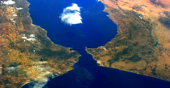
The Geography
About Tangier
The Geography
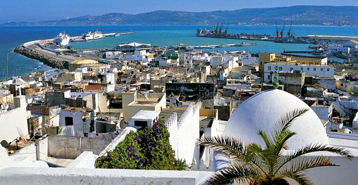
Central Tangier lies about 23 km (14 mi) east of Cape Spartel, the southern half of the Strait of Gibraltar. It nestles between two hills at the northwest end of the Bay of Tangier, which historically formed the best natural harbour anywhere on the Moroccan coast before the increasing size of ships required anchorage to be made further and further from shore. The shape of the gradually-rising underlying terrain creates the effect of the city as an amphitheatre, with the commercial district in the middle.
The Geography
The western hill (French: La Montagne) is the site of the city's citadel or kasbah. The eastern hill forms Cape Malabata, sometimes mooted as the point for a strait crossing. (Years of studies have, however, made no real progress thus far.)
The Marshan is a plateau about 1,189 metres (3,900 ft) long spreading west of downtown along the sea.